“Planting zones are broken down into thirteen areas, also known as USDA zones, which cover the entire United States, including Hawaii, Alaska and Puerto Rico. Each agricultural zone covers a 10-degree range. Zone 1 is the coldest, with an average minimum winter temperature of -60 to -50 degrees F, while the minimum winter average temperature in Zone 13 is 60 to 70 degrees F.” (link here)
I’m a 10b — no, not shoe size! That’s the planting zone for Los Angeles:
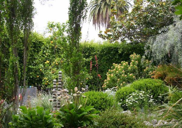
Los Angeles County garden of garden designer and ceramicist Dustin Gimbel growing leucospermum, magnolia, acacia, gerbera, citrus
Los Angeles
Planting Zone: 10b
With an average yearly temperature of 63.68°(F), Los Angeles has a Frost free growing season and is located in a warm temperate thorn steppe.* Common grasses include bermuda grass, buffalo grass, St. Augustine grass and zoysia grass.
Averages
Low Temp: 35 to 40°(F)
Rainfall: 18.67”
Sunny Days: 284
Altitude: 292′
“The coast of California usually has dry, warm to hot summers, with rainy winters in the north and mild winters in the south. The high elevations of the Sierra Nevadas, Cascades and Klamath mountains have mild to moderate summer and snowy winters. The low elevation eastern deserts in Southern California see minimal frost in the winter and have hot summers, while higher elevation eastern deserts in the central part of the state are prone to thunderstorms from July through early September.”

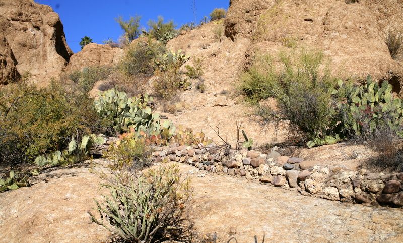
Boyce Thompson Arboretum, Arizona
It’s a fun game. What’s the zone for Phoenix, you ask? Click on the state, and major cities will be highlighted. Phoenix is 9b. (“With an average yearly temperature of 75.05°(F), Phoenix has a February 26-November 20 growing season and is located in a subtropical desert scrub. Common grasses include bermuda grass and St. Augustine grass. Averages; Low Temp: 25 to 30°(F), Rainfall: 8.04” Sunny Days: 299, Altitude: 1093‘)

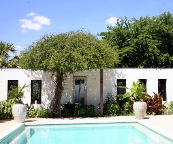
Tanglewild Gardens, Austin TX
Okay, I was just in Austin. Let’ check the deets on it: 8b ( “With an average yearly temperature of 69.4°(F), Austin has a February 17-December 6 growing season and is located in a subtropical dry forest. Common grasses include bermuda grass, buffalo grass, rye grass, St. Augustine grass and zoysia grass. Averages; Low Temp: 15 to 20°(F), Rainfall: 34.25” Sunny Days: 228, Altitude: 489′)
Go ahead, give it a try. Honolulu is 12a, Miami 11a...
"Instead of simply assuming you are in a certain zone and thinking you already know what grows best, click on the major metros near you to see detailed information specific to your exact area. Individual zones are no longer simply just bands that go across the country. Detailed sections are now based on multiple factors.
Click on your state to reveal a basic overview, including the state flower, a list of major metro areas, gardening zones and an overview of climate. By clicking your closest metro area, you’ll find even more detailed information to help make your gardening decisions."
Gilmour, which sells household/garden supplies, emailed this helpful planting zone map. No business relationship exists between Gilmour and AGO.
*that's my bold, since I was unfamiliar with this nomenclature "warm temperate thorn steppe," which derives from the Holdridge Life Zones Data Set.


Ugh! The Gilmour map shows my zip as 11a! Even though the scale still isn’t widely used by plant growers or sellers, I like the Sunset scale better as a predictor of viability as it considers more weather-related factors than winter lows. Nonetheless, perhaps that half-zone difference in our climate norms explains some of the differences between what you and I can grow.
I have had a business relationship with Gilmour (who is now owned by Fiskars) for about 25 years. I didn’t realize they had a climate map , and it is probably configured to help them sell product-even though they still have some of the highest quality watering supplies available i.e. Flexogen hoses and the iconic hose repair clamps. I use Sunset most of the time. Much more relevant.
When you consider the fact that my garden and your example in Austin are both listed as 8b… well one begins to understand the limitations of the USDA Zones.
True, it doesn’t drill down like Sunset. But it does have a usefulness for travel, contemplating a move, etc. (Kris, 11a!? Really!)
Like the USDA map, Gilmour has moved my county to 7a. That’s probably true in town, which represents the bulk of our zip code, but it would be high foolishness to plant major trees or shrubs on that basis out in the county. No question there’s been warming since my childhood, but elevation and aspect still make huge differences. If we really are 7a, the survival and thriving of my Edgeworthia chrysantha seems less remarkable. Maybe I can indulge in hardy camellias… See how pernicious this can be?
Gilmour calls our state flower Cornus florida ‘American dogwood’ LOL… are the people who worked on this project Canadian or U.K.? Most U.S.ians call it ‘flowering dogwood’ (the literal translation of the specific epithet). We call it ‘Virginia dogwood’ because we’re chauvinistic that way.
Okay, update — entering zip codes for non-town parts of the county shows them as 6b, so points to Gilmour. Hope they’ll eventually add a few more metro areas: Charlottesville and Roanoke here, Asheville in NC.
@Nell, so enjoying the comments! Now I know when I visit, it’s “Virginia dogwood”!
Heh. If you visit, what we really call them is just ‘dogwood’. ‘Virginia dogwood’ is for when you need to distinguish them from other kinds — pagoda, red-twig, kousa. Hardly anyone around here has heard of or plants Cornus mas, which I bet is what many Europeans think of when someone says ‘dogwood’. (It verges on being too hot here in the mountains, and conditions get even less favorable in the rest of the state.)
If you do ever come east, please let me know. My garden’s too far from anything likely to draw visitors (except Monticello), but am happy to travel to tour a garden on my long ‘of interest’ list.
Nell, don’t tempt me! I’ve already got a rip-roaring case of road trip fever…